
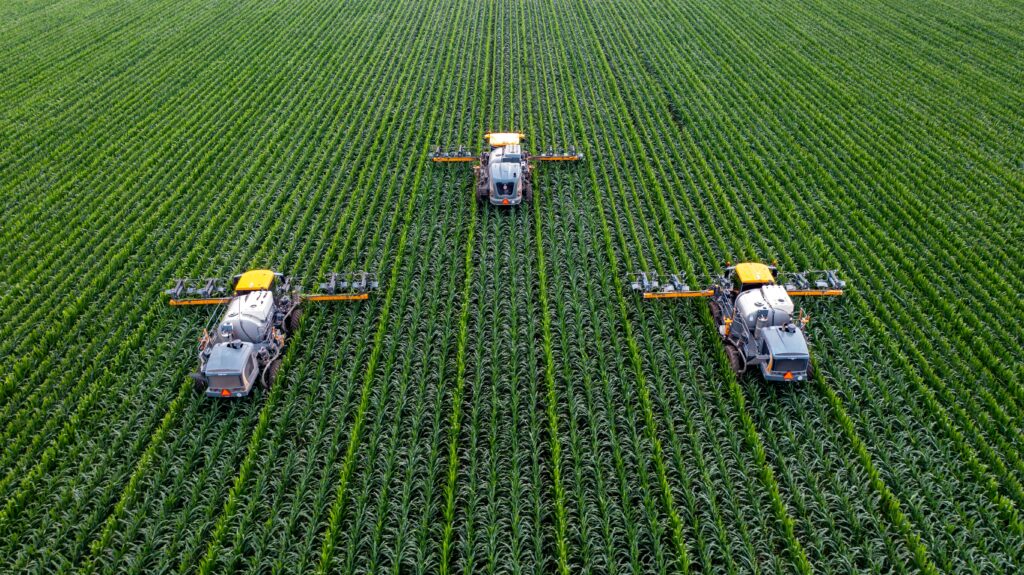
Application of GIS in Precision Farming
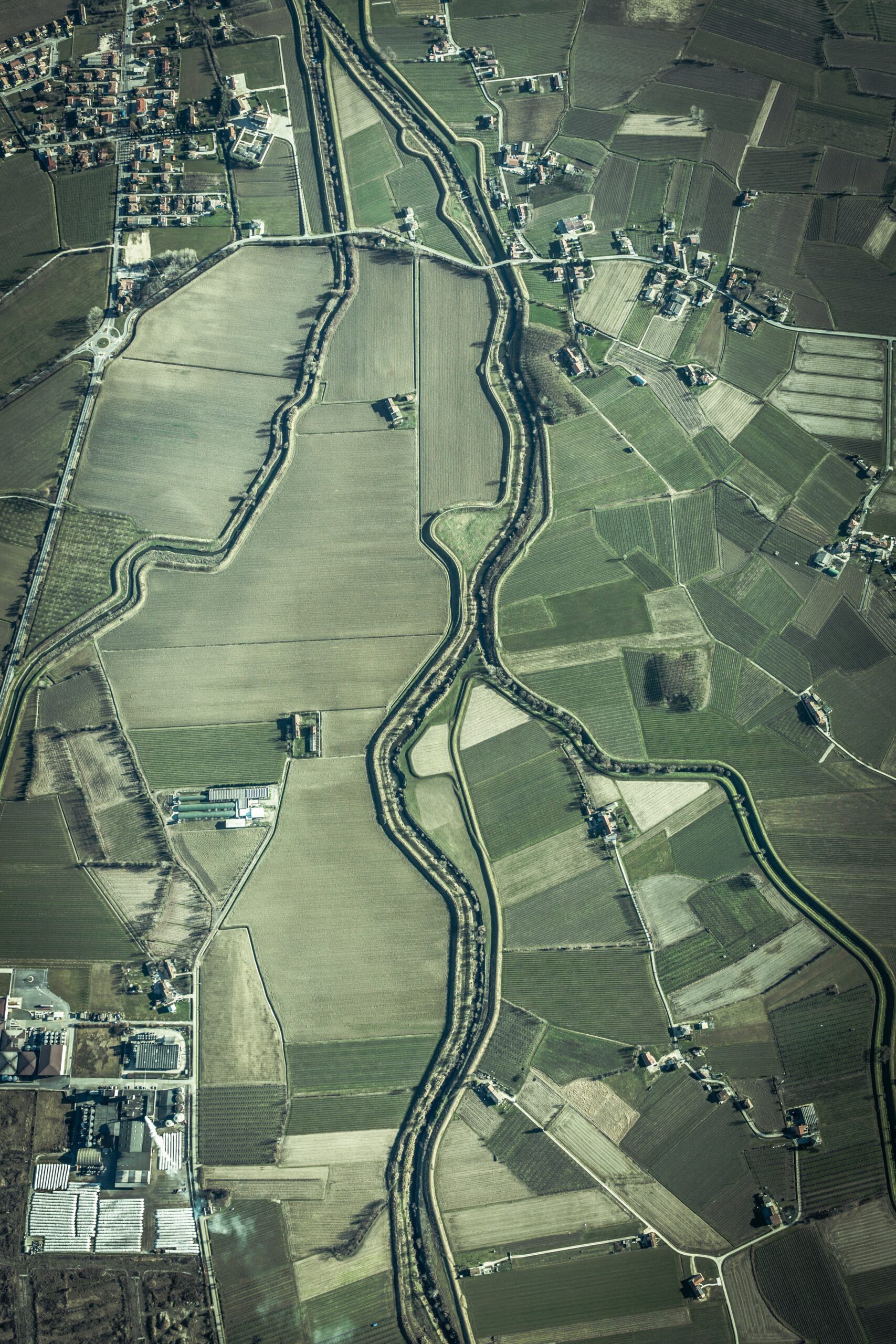
Application of GIS in Precision Farming. If we talk about GIS, precision agriculture also goes with that. So the precision farming is a concept that utilize geographical information to determine field variability to ensure optimal use of inputs and maximize the output from a farm.[ ESRI, 2008]. Mainly they use image processing. Precision agriculture use to build sustainable farming economy. In here remote sensing, GPS, GIS, Variable rate applicator and other machines are use. GIS means a system designed to capture, store, analyze, manage and present the spatial data. For analyze features of the plants and land to get an exact perception use the databases in GIS.
So the database for precision farming generally includes ,Crop information such as growth stage, health, nutrient requirement. Soil physical and chemical properties ,depth, texture, nutrient status, salinity and toxicity, soil temperature , productivity potential. Further more microclimatic data ,surface and sub surface drainage conditions and also irrigation facilities ,water availability and planning of other inputs. Application of GIS in Precision Farming
Application of GIS
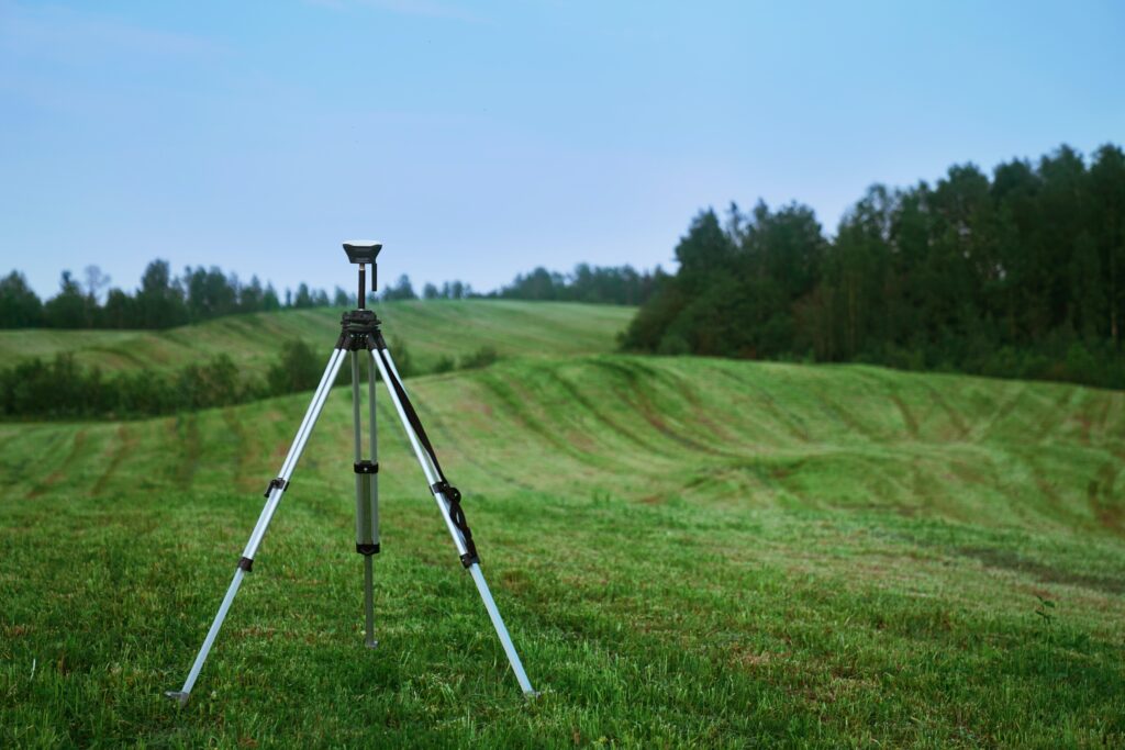
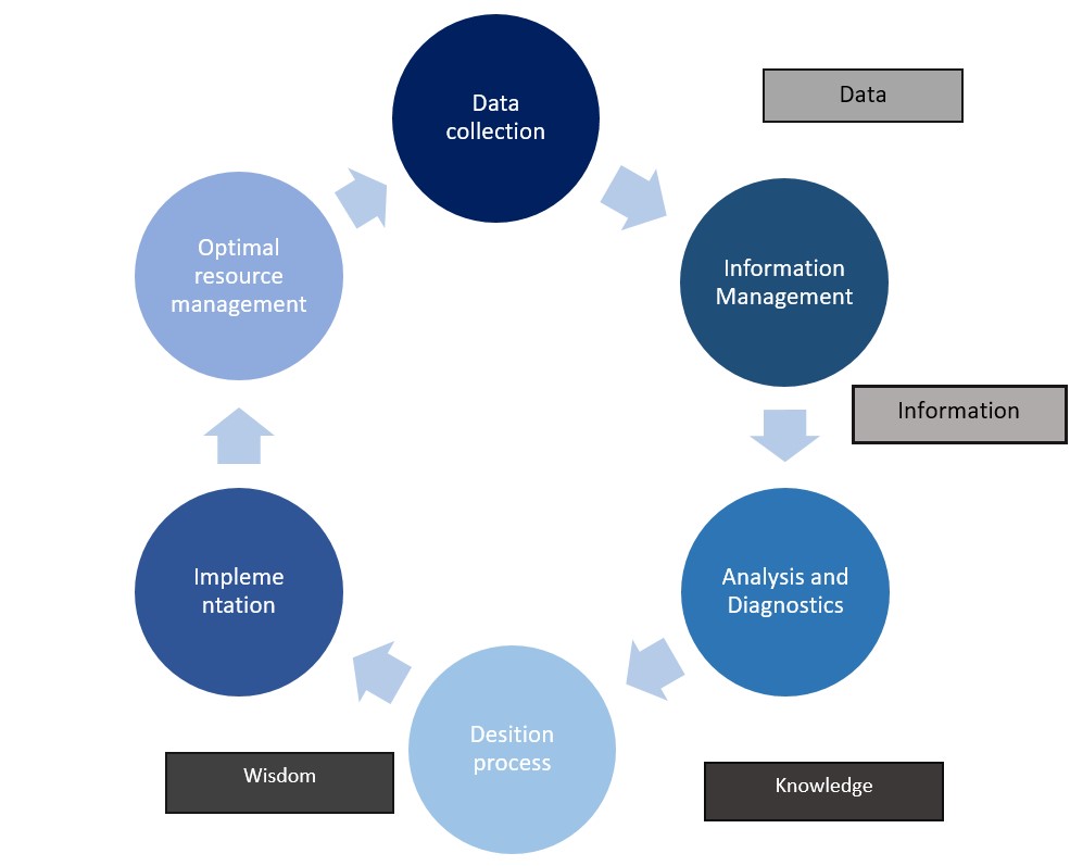
Now we see how these components exactly works. There are division of land into different management zones.(Soil properties, weather ,pest, disease).Then collection of data using remote sensing and GPS. After that the data is geo –reference into a GIS database. Storing and analyzing of this point data and conversion of point data into spatial data. Then spatial data is use to determine the possible problems in virions management zones. GIS software can be used to transform spatial information into digital maps. Comparison of the results that are present in the field. At this point an area that has low/medium/high nutrient content or a region with pest incidence is identified. Then Adoption of favorable management techniques to increase the efficiency of farming.
GIS Analysis
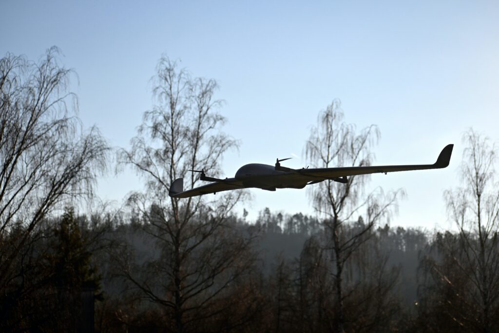
The drones ,remote sensing equipment’s give accurate information to deal with above exact agricultural problems. So the data collections are used to mappings. As an example, Some software has quick access to farms, fields weather and marketing supporting farmer throughout the year. There are for important seasons in farming. Planning, planting, growing and harvesting. The planning season begins from last year harvested data. Farm server expect data from all precision agro equipment. Make sure it’s readable for the farmer. So farmer can see high and low performing areas. Fields are highly variable and we can plan for that variability by creating small management zones. Using geo designs tools inform server customers create custom management zones to reach fields. Start by adding soils, yields and last year’s crop health imagery. These combinations helps to create best management zones.
Challenges in adoption precision farming
This technology is more efficient but South Asian counties may face challenges in adoption precision farming. Those are pattern of land holding .Small holding farmers take fragmented lands. So applying this precision farming technology is become slightly difficult. Many researches and modifications are require to adopt these situation. Then poor infrastructure facilities. Lack of farmers inclination to take the risk and poor social economic condition of farmers.
Quick recap and way forward
Rapid socio economic changes such as economic growth , urbanization and energy consumption are creating new opportunities for the application of precision farming in South Asia.
Instead of blindly adopting the technology as like in developed counties .Asian farmers should adopt the technology based on their requirement and socio economic conditions. Application of GIS in Precision Farming.
Application of GIS in Precision Farming. If we talk about GIS, precision agriculture also goes with that. So the precision farming is a concept that utilize geographical information to determine field variability to ensure optimal use of inputs and maximize the output from a farm.[ ESRI, 2008]. Mainly they use image processing. Precision agriculture use…