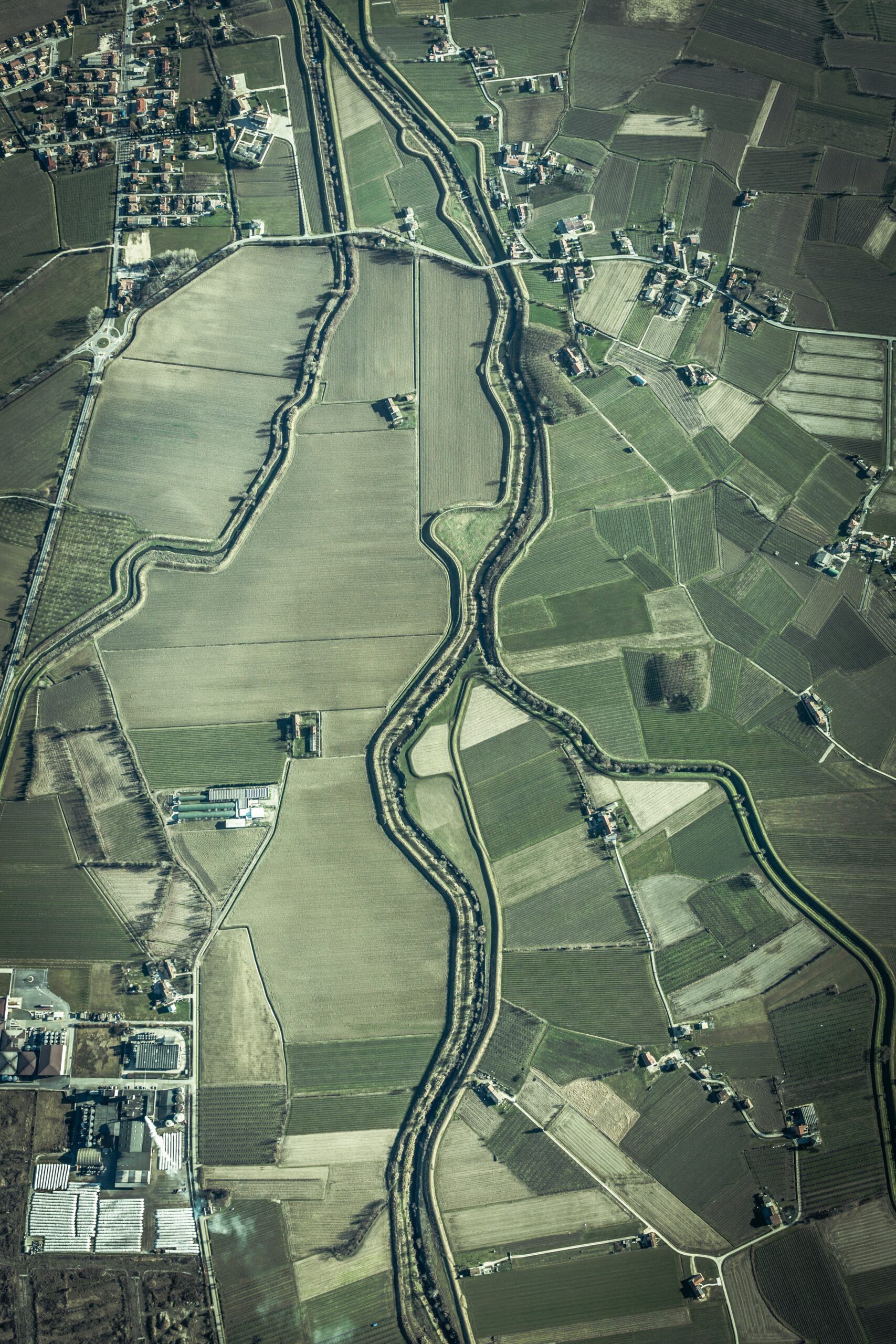
Application of GIS in Precision Farming
Application of GIS in Precision Farming. If we talk about GIS, precision agriculture also goes with that. So the precision farming is a concept that utilize geographical information to determine field variability to ensure optimal use of inputs and maximize the output from a farm.[ ESRI, 2008]. Mainly they use image processing. Precision agriculture use…
continue reading
No Comments

